 We pick up the friends that we meet in Homer, Jack is towing their boat
with the coach. Tammy and Barb are in
the car. The truck got towed (only
around 250 miles) to Valdez.
  Going down to Matanuska Glacier, that is snow not water in the pic. The glacier is about 27 miles long and is
from 2 to 4 miles wide.
  Bent poles along highway are snow poles to guide snow plows during
winter. I would hate to be here when the
snow plows need poles that high to guide them through the snow!
  Thompson Pass has the record for snow fall. In 1952-53 there was 974.5 inches of snow (no not a miss print – just 81.2 feet). 298 inches of snow in the month of February 1953 and 62 inches for a 24-hour period in December 1955.
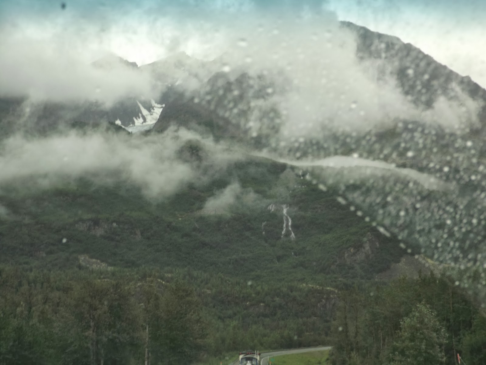
  This is not flog, it is a clouds.
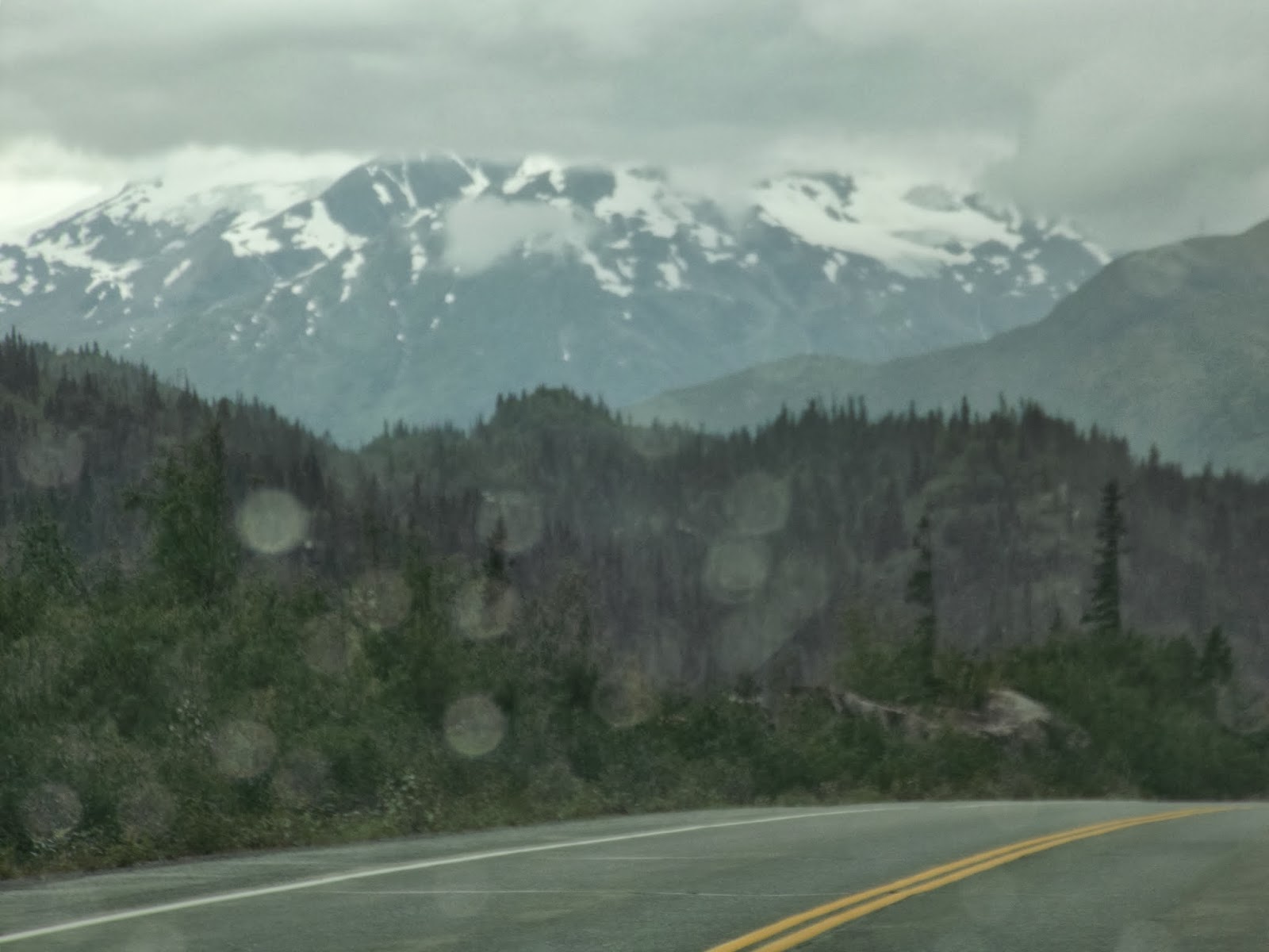
We are still high up and we just came down a 7.5 mile climb from Thompson
Pass. It was pretty steep.
  Had trouble taken some pictures of thing on the way in, so the next few
pic were taken on 8/2/13 as we were leaving Valdez. Lowe River emerges from Keystone Canyon.
  Jack is towing the boat to Gennallen.
Jack convinced Jim that he should not tow the boat until the new
transmission had a chance to break in. [ If I turn right I can have a realy great boat. ]


No comments:
Post a Comment