We tried to stay in the city of Whitehorse, but after finding 3
campground full, we decided to keep driving.
We drive another 50 miles before we found Otter Falls RV Park in the
Yukon. When we left the park we went by a
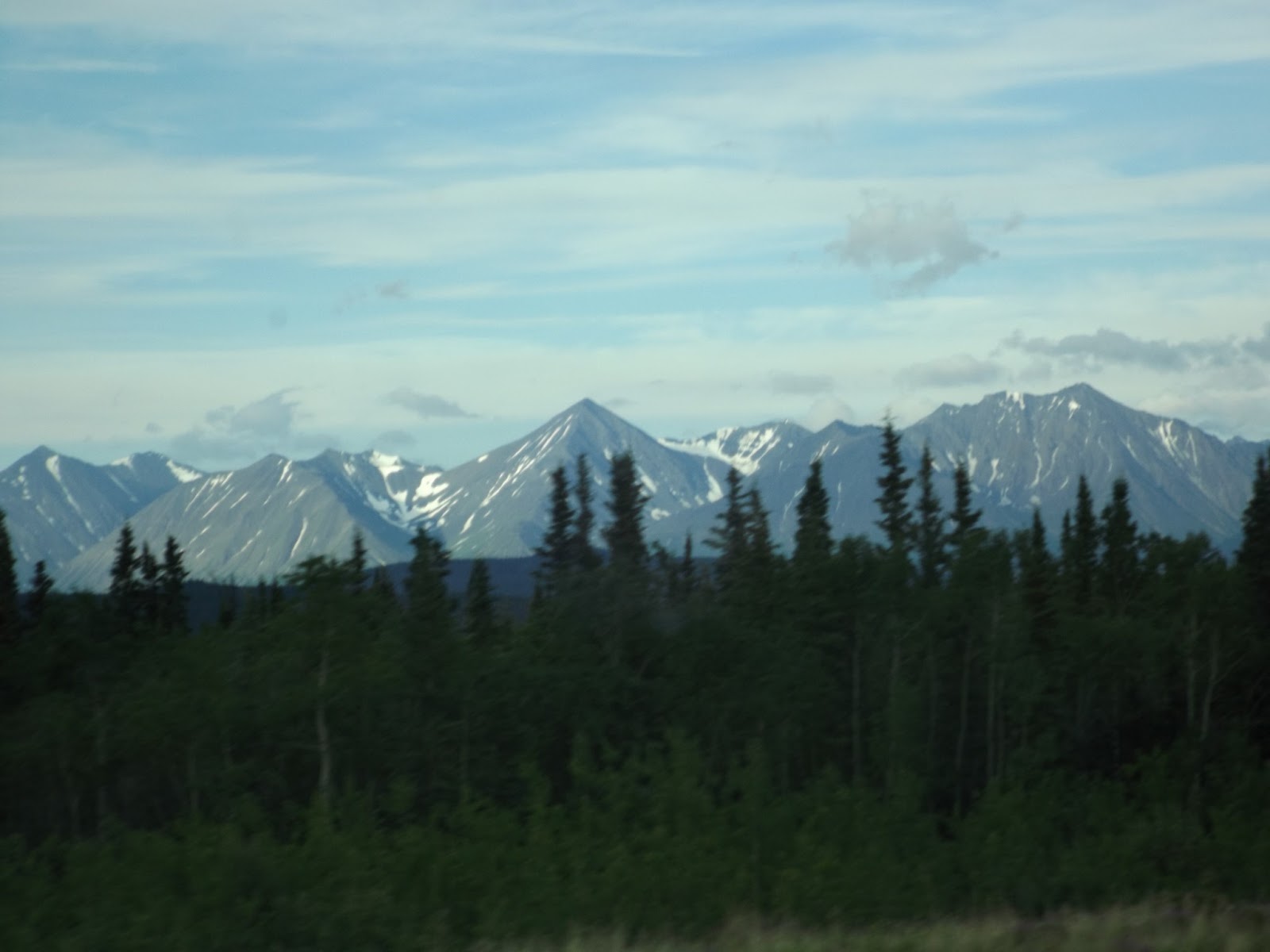
lot of mountains including Mount
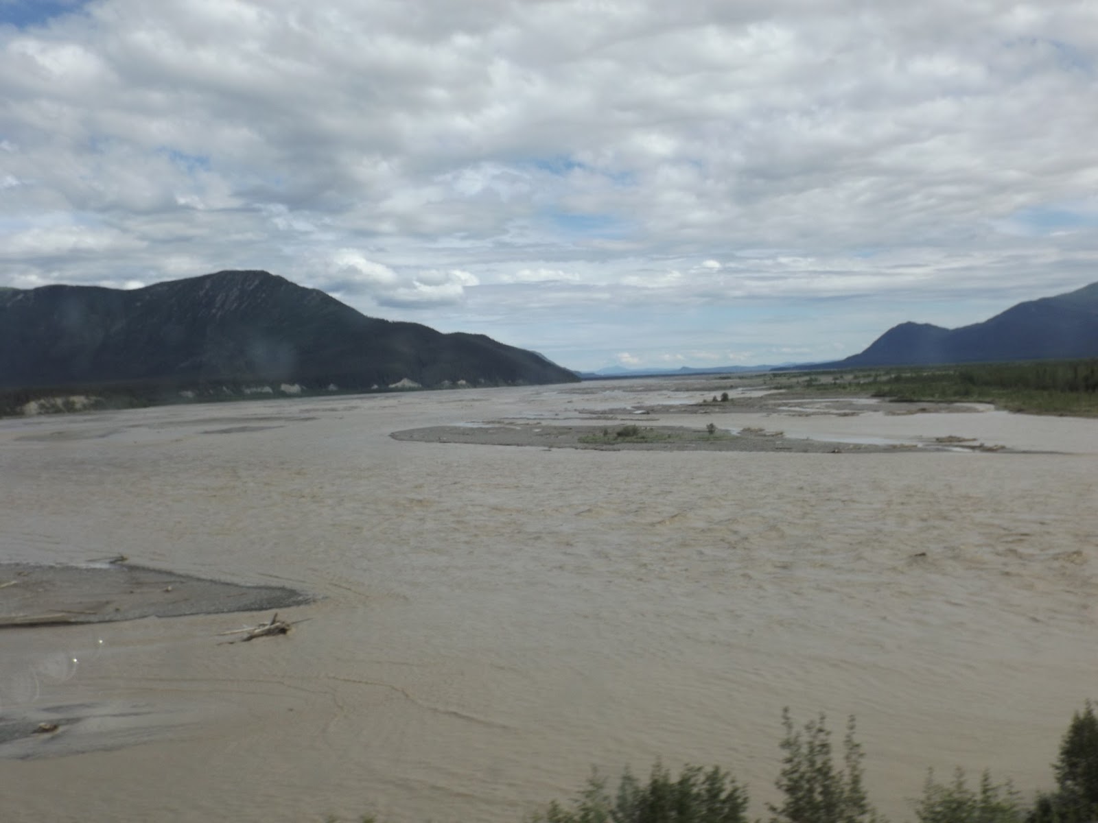
Kennedy, a lake that changed it direction of flow, many rivers, a road
that tried to tear the coach apart, icefields, Beaver Creek, vent-like
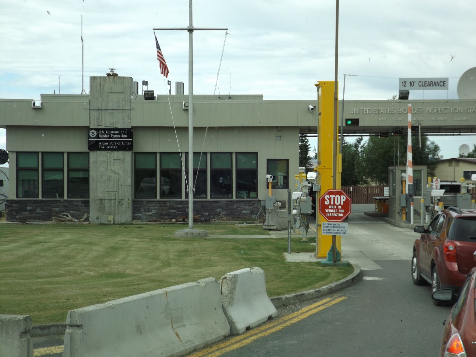
structures of the permafrost research project, Crossing the Border and a
helicopter.
 After we passed Slims River we were on 25 miles of stone. This was the longest stretch of gravel that we were on since starting the trip. It was so bad that we had one of the blinds in the front window fall down, two other blinds lost some screws and the satellite dish stopped working. Zane is doing better with the noise. I just give him ½ pill now. [ jack still needs a whole one.]
 Within the 25 miles of gravel we came across Destruction Bay. Destruction Bay got it name when a storm destroyed the buildings and the materials, but we think it was named because of the bad roads.
  The icefield Ranges include the highest (Mt Logan @ 19,545 feet) and youngest mountain in Canada. The ice is more than 2,200 feet thick.
  Snag Lake by the Town of Snag that claim to have had the lowest temperature in Canada @ minus 81.4 degrees F in 1947.
  Vent-like structures of the permafrost research project. The techniques are designed to minimize melting of the permafrost by allowing cold air to penetrate the road embankment and increase surface reflectivity.
 Beaver Creek was the original site for the Canada custom station. But the local residents were pleased when the custom station needed replaced that the government move it up the road. The residents were tired of flashing lights and screaming sirens being set off whenever a tourist forgot to stop.
  We wish that Yukon would add more to their reconstruction project. The road back to Canada border crossing was bone jarring.
 There was a fire close by and we saw a helicopter with a water bucket going back and forth getting water


No comments:
Post a Comment