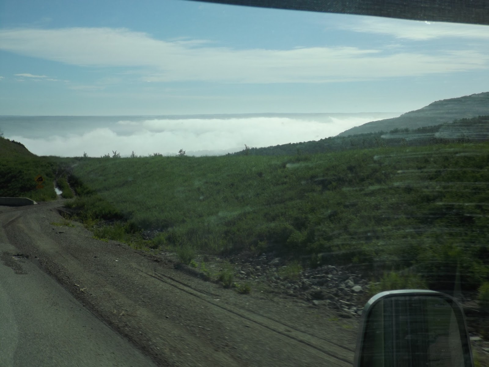
This first part is long to read, but it is way the Alaska Highway was built. Check out the picture for Peace River, Sikanni Chief River, Drunken Black Forest Trees, Taylor town, the way Tom (the cat) like to travel and the first picture of the pipe line.
Dawson Creek was the beginning of the Alaska Highway. For many people, the Alaska Highway is a great adventure. For others, it is a long drive, but the vastness of the wilderness this pioneer road crosses can’t fail to impress you. Construction of the “Alcan” Highway ((ALCAN was the military acronym for the Alaska-Canada Highway) officially began on March 9, 1942. The bombing of Pearl Harbor made it a military necessity to construct an Alaska Highway. Army engineers were ordered to construct a road that would proceed in a northwestern direction from the railhead at Dawson Creek, BC, and connect with the existing Richardson Highway at Delta Junction, AK. They made a pioneer road through the wilderness in 8 month and 12 days. The US formally agreed to pay for construction and Canada would furnish the right-of-way and provided construction materials along the route. US agreed to turn over the Canadian portion of the highway, 6 month after the end of the war. The highway was started on March 9, 1942 with 11,000 US troops, 16,000 civilian contractor (Canada and American), 7,000 pieces of equipment, and 133 bridges and finished the highway on Oct 25, 1943. Two major tragedies occurs, one at Charlie Lake killing 12 men (their raft capsized) and when a livery stable fire exploded and leveled a complete city block in Dawson Creek (a truck loaded with 5 tons of dynamite and cases of blasting caps was inside the livery) killing 5 people and 150 injured. Many others died from hypothermia (pulling over on the road and falling asleep in their truck) and sickness. The highway cost $19.7 million and is 1422 miles long. The work poster in 1942 was as the following: “Men hired for this job will be required to work and live under the most extreme conditions imaginable. Temperatures will range from 90 degrees above zero to 70 degrees below zero. Men will have to fight swamps, rivers, ice and cold. Mosquitoes, files and gnats will not only be annoying but will case bodily harm. If you are not prepared to work under these and similar conditions, do not apply.”
Dawson Creek was the beginning of the Alaska Highway. For many people, the Alaska Highway is a great adventure. For others, it is a long drive, but the vastness of the wilderness this pioneer road crosses can’t fail to impress you. Construction of the “Alcan” Highway ((ALCAN was the military acronym for the Alaska-Canada Highway) officially began on March 9, 1942. The bombing of Pearl Harbor made it a military necessity to construct an Alaska Highway. Army engineers were ordered to construct a road that would proceed in a northwestern direction from the railhead at Dawson Creek, BC, and connect with the existing Richardson Highway at Delta Junction, AK. They made a pioneer road through the wilderness in 8 month and 12 days. The US formally agreed to pay for construction and Canada would furnish the right-of-way and provided construction materials along the route. US agreed to turn over the Canadian portion of the highway, 6 month after the end of the war. The highway was started on March 9, 1942 with 11,000 US troops, 16,000 civilian contractor (Canada and American), 7,000 pieces of equipment, and 133 bridges and finished the highway on Oct 25, 1943. Two major tragedies occurs, one at Charlie Lake killing 12 men (their raft capsized) and when a livery stable fire exploded and leveled a complete city block in Dawson Creek (a truck loaded with 5 tons of dynamite and cases of blasting caps was inside the livery) killing 5 people and 150 injured. Many others died from hypothermia (pulling over on the road and falling asleep in their truck) and sickness. The highway cost $19.7 million and is 1422 miles long. The work poster in 1942 was as the following: “Men hired for this job will be required to work and live under the most extreme conditions imaginable. Temperatures will range from 90 degrees above zero to 70 degrees below zero. Men will have to fight swamps, rivers, ice and cold. Mosquitoes, files and gnats will not only be annoying but will case bodily harm. If you are not prepared to work under these and similar conditions, do not apply.”
 The first look of the Peace River Bridge. This bridge span the longest river on the highway. It is a metal grating bridge and was the first major project for the engineers in 1942. Traffic had to move by 2 ferries before the bridge was completed. It collapsed in 1957 after erosion to the north shore of the bridge. This bridge was replace in 1960.
 The dark trees on the hill are black spruce trees. They call them "Drunken Forest", because the trees growing in unstable clay-based soil that is subject to slide activity in wet weather.


No comments:
Post a Comment